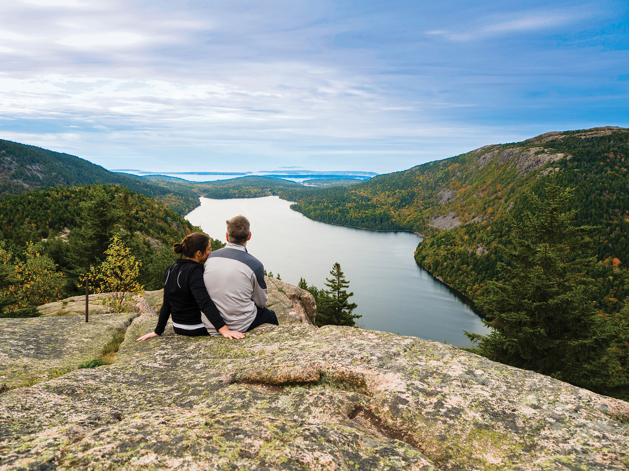
There really is at least one trail for anyone within Acadia National Park. From the most basic walking path all the way to a strenuous rated climb, the Park has a full spectrum of offerings. If you want an up close and personal experience with the park, taking the time to hike on the trails is the way to go. Remember though that “an ounce of prevention is worth a pound of cure.” This holds very true when it comes to venturing into a wilderness setting and can sometimes make the difference between safely returning or suffering a bad injury or worse. If climbing across rocky areas, make sure to have the sturdy hiking shoes for the terrain. Be sure to bring bad weather gear, water and snacks, and store your garbage. Always plan ahead and expect the unexpected to happen.
FYI: Removing any item from a National Park, no matter how small, is a federal crime. Nibbling berries along the trailside is allowed however.
Smooth path over level ground.
Beginning at the Bar Harbor Town Pier, the Shore Path runs along the shore offering great views of the harbor and Porcupine Islands. The path crosses private property and access is granted by owners providing that hikers respect their residences and stay on the path. Park on the Town Pier in Bar Harbor.
1.0 mile/1.6 km
Paved path encircling the summit offers panoramic views of Bar Harbor, Frenchman Bay and out islands. Parking on the Cadillac Mountain 1,530 foot summit.
0.3 mile loop/0.5 km loop
Unique hiking trail in a forest to rocky shoreline setting with tidal pools located on the south western side of Mount Desert Island near Bass Harbor Head Lighthouse- Parking is 1 mile south of Seawall Campground on Route 102A.
1.4 miles/2.2 km
Uneven ground but fairly level.
Accessible 1-1/2 hours either side of low tide A sand bar leads to the forested island. Be aware of the time and tide schedule as there are no public facilities on the island. Park on Bridge Street off West Street in Bar Harbor.
Distance varies
Forest and pond setting. Park at Jordan Pond parking area.
1.0 mile loop/1.6 km loop
There are miles and miles of easily walkable carriage roads throughout the Park with a variety of entry points with parking such as Jordan Pond, Bubble Pond, Eagle Lake, The Brown Mountain Gatehouse, Visitor Center, or Parkman Mountain. Check out a map and choose a loop that’s best for you.
Distance varies
Begins near Sand Beach and runs parallel to the Park Loop Road on its east side past Thunder Hole all the way to Otter Cliff. Park at the Sand Beach or Otter Point parking lots.
3.0 miles/4.8 km
Nature Trail Forest to rocky shore setting on the western side of Mount Desert Island near the Bass Harbor Head Lighthouse. Parking is located in the Ship Harbor area off Route 102A.
1.3 mile loop/2.1 km loop
Some steep grades, some level stretches.
Return via fire road One of the most popular hiking trails in the park offering views of Somes Sound and Southwest Harbor, National Park Rangers often lead hikes up Acadia Mountain as part of their regular summer program. The steep 700 foot climb can descend to a fire road or continue up St. Sauveur then down to a parking area about 1/2 mile south of the Acadia Mountain parking area (Route 102).
2.5 miles/4.0 km
Located on the western side of Mount Desert Island near the Pretty Marsh Road offering a vista of Great Long Pond on the Northwest route. Follow signs from Somesville to Beech Mountain.
1.2 miles/1.9 km
Forest to granite ledges and pond setting. Starting point is approximately 100 feet north of Sand Beach parking area.
1.4 miles/2.2 km
Forest setting with occasional open views and Jordan Pond views. Park in the Bubble Rock parking area just north of Jordan Pond near North Bubble and South Bubble Mountains.
1.0 mile/1.6 km for each mountain
Open ascent with spectacular Bar Harbor and Frenchman Bay views. Park at the North Ridge Cadillac Mountain parking area.
4.4 miles/ 7.0 km
A Forest setting opening to a gentle granite ascent. Located 100 feet south of Blackwoods Campground entrance (Route 3).
7.4 miles/ 11.8 km
Bear Brook Trail Pine slop with vistas of Frenchman Bay. Park at the Bear Brook parking area, 400 feet beyond Beaver Dam Pond.
2.2 mile /3.5 km
Spruce forest setting opening to a granite ascent of 525 foot Gorham Mountain. Park in the Gorham Mountain parking area just past Thunder Hole.
1.8 miles/2.9 km
Cliffs on the east side of Sand Beach. Park at the eastern edge of Sand Beach.
1.4 mile loop/2.2 km loop
Follows water’s edge with rocky sections. Jordan Pond parking area (not the Jordan Pond House Restaurant parking area).
3.3 mile loop/5.3 km loop
Some level trail, some board walk.
Steep grades, many steady climbs.
Iron rungs on ledges Woods to exposed cliffs. 100 feet north of Sand Beach parking area.
0.8 miles/1.3 km
Beachcroft Trail Rocky open slops. Parking at north end of The Tarn (Route 3).
2.4 miles/3.8 km
Canon Brook to Murray Young Path to Dorr Summit Forest setting to steep granite ascent. Canon Brook parking area (Route 3).
4.8 miles/ 7.7 km
Perpendicular trail to 946 foot summit on the Western Side of Mount Desert Island and Great Long Pond. Rocky stair step climb with spectacular pond views. Parking near south end of Great Long Pond near Southwest Harbor.
2.0 mile loop/3.2 km loop
Goat Trail Steep ascent with wooded summit. Parking north of Upper Hadlock Pond (Route 198).
1.0 mile loop/1.6 km loop
Forest setting. Ocean and lake views. Park at Bubble Pond.
2.4 miles/3.8 km